
tw:mapping
Differences
This shows you the differences between two versions of the page.
| Both sides previous revision Previous revision Next revision | Previous revision | ||
|
tw:mapping [2018/09/23 11:43] davidwilcox |
tw:mapping [2018/09/24 13:48] (current) davidwilcox [Open Street Map] |
||
|---|---|---|---|
| Line 1: | Line 1: | ||
| # Creating maps | # Creating maps | ||
| - | [[tw:index|Thames Ward index]] | [[tw:map|Map examples]] | [[tw:mapping|Creating Maps]] | [[tw:orgs|Organisations]] | [[tw:comms|Communications]] | + | [[tw:index|Thames Ward index]] | [[tw:map|Map examples]] | [[tw:mapping|Creating Maps]] | [[tw:orgs|Organisations]] | [[tw:comms|Communications]] | [[tw:riverside|Riverside plans]] |
| ~~NOSIDEBAR~~ | ~~NOSIDEBAR~~ | ||
| + | |||
| + | ## Google MyMaps | ||
| + | |||
| + | ### Locality presentation | ||
| + | |||
| + | |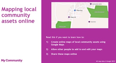|This presentation by Locality shows how to use Google maps to engage your community and share information. It covers setting up a map,creating map layers, adding shapes and markers, importing or adding data directly. [Click here to view presentation](https://mycommunity.org.uk/resources/mapping-local-community-assets-online/)| | ||
| + | |||
| + | [My maps help by Google](https://support.google.com/local-guides/answer/6225846?hl=en) | ||
| + | |||
| + | [Google maps type](https://support.google.com/local-guides/answer/6225846?hl=en) by Tom Mullaney | ||
| + | |||
| + | [Local guides help](https://support.google.com/local-guides/answer/6225846?hl=en) | ||
| + | |||
| + | [Google Earth Pro download](https://support.google.com/local-guides/answer/6225846?hl=en) | ||
| + | |||
| + | [Add image layer to Google Earth](https://library.carleton.ca/help/georeferencing-and-digitizing-scanned-maps-or-aerial-images-google-earth) | ||
| + | |||
| + | ## Open Street Map | ||
| + | |||
| + | [Learn Open Street Map](https://learnosm.org/en/beginner/) | ||
tw/mapping.1537703030.txt.gz · Last modified: 2018/09/23 11:43 by davidwilcox
Page Tools
Except where otherwise noted, content on this wiki is licensed under the following license: CC Attribution-Noncommercial-Share Alike 4.0 International


